

Drone Technology Protecting Developers from Legal Woes
The Queensland property sector is moving rapidly on the development front, with major residential rollouts and infrastructure expansions transforming the southeast. As a result, local developments are under extreme pressure to deliver on time and within budget. The complex local council approval process and the risk of legal disputes have created significant roadblocks for developers. As a result, they’re embracing advanced drone technology to safeguard their investments.
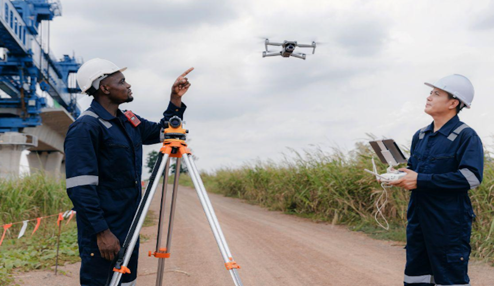
Accuracy to Ensure Faster Approvals
If you want timely approval from Brisbane City Council or regional bodies across the Gold and Sunshine Coasts, you must provide flawless site data. While traditional surveying methods are reliable, they are logistically challenging in difficult terrain and time-consuming.
Technology changes the dynamic. Drones are equipped with LiDAR sensors, advanced photogrammetry, and capture highly accurate data across an expansive site in a fraction of the time as traditional surveying. With high-resolution 3D terrain models and precise digital surface maps, you can present up-to-date spatial data from the outset, saving time and money on the back-and-forth requests for additional data and information. It paves the way for much quicker approvals. You can’t overlook the benefits of drone surveying Brisbane.
Minimising the Risk of Legal Disputes
Post-completion litigation can be financially devastating in the development and construction game. Disputes arise over several issues, typically related to unexpected environmental disruptions to neighbouring properties, boundary encroachments, and inaccurate earthworks volume calculations.
Drones capture a precise record, delivering a secure, time-stamped audit trail. For example, a neighbouring property owner may claim that the developer’s excavation works contributed to boundary damage or land slippage. The developer can review their drone data to disprove the claim. Additionally, precise volumetric data will prevent cost discrepancies with civil contracts by ensuring calculations meet contractual agreements.
The Landscape
Queensland’s geography is famously diverse, from the dense urban pockets in Brisbane to heavily forested regional spots and sensitive coastal zones. There are strict regulations around structural and environmental compliance, and drones have more freedom to access waterlogged zones, heavily vegetated areas, and steep slopes.
In doing so, native vegetation, waterways, and other environmental protection zones are accurately mapped, protecting them against accidental encroachment before equipment and machinery arrive on-site.
Don’t overlook the potential of drone surveyors Brisbane, they’re your best bet to keep pace with a rapidly developing industry while ensuring legal compliance and protection against legal disputes. Not only is it efficient, but it’s also a critical step toward risk management.


