Bat and bird poo can tell you a lot about ancient landscapes in Southeast Asia
- Written by Christopher Wurster, Senior Research Associate of Stable Isotope Geochemistry, James Cook University
The islands of Sumatra, Borneo and Java were once part of a much larger landmass connected to Asia called Sundaland.
But there are some species that are unique to each island today – such as the two species of orangutan – so in research, published today in Scientific Reports, we looked at what could have kept them apart.
And that involves looking at ancient poo samples.
Land exposed
Sundaland was largest during times of lowest sea level, when it was bigger than all of today’s Europe combined.
Most recently, this was about 20,000 years ago at the peak of the last ice age. Glacial (ice age) periods are much longer than interglacials (warm – like today).
This means Sundaland was exposed above sea level for about 90% of the time over the last few million years, and looked like it does today about 10% of that time.
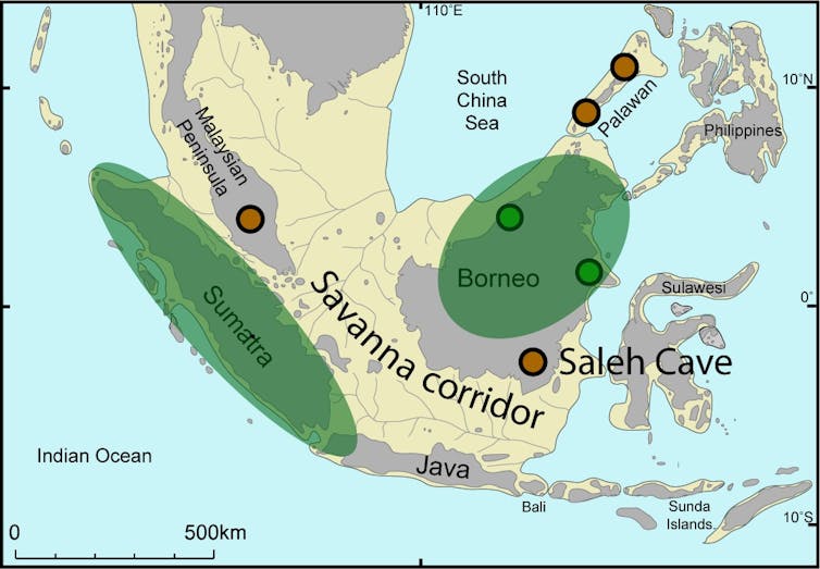 Sundaland when sea level was at its lowest 20,000 years ago. Study sites are shown that support savanna (orange) or rainforest (green) during that time. Also shown are the Molengraf rivers, on the now-submerged shelf, originally identified from early bathymetric surveys in 1921.
But what did the ancient landscapes look like across this vast – now largely underwater – continent?
Drop what you eat
To find this out we looked at thick accumulations of bat and bird poo in caves across the region.
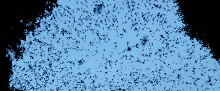 Bats flying out of an Indonesian cave for a nightly feed.
Chris Wurster, Author provided
Insect-feeding bats and birds live in caves. Every night, millions leave their roosts to feed, eating insects from the landscapes surrounding the cave.
After returning to sleep, the bats and birds “do their business”, defecating on the cave floor. The piles of excrement are mostly made up of insect skeletons. So the bats effectively act as mini-scientists, “sampling” the insects that were around the cave during each feed.
Over time, droppings accumulate in deposits several metres thick, which contain insect skeletons many thousands of years old.
Although we can’t identify the insects, as they are too broken up, we can look at chemical fingerprints to figure out what kind of plants the insects were feeding on. This is because insects that feed on tropical grasses leave a very different chemical imprint to those that feed on trees.
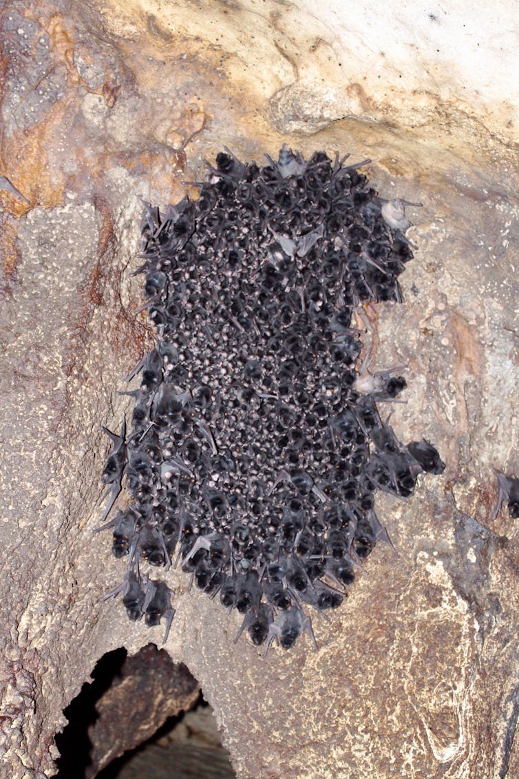 Bats clumping on a cave wall: look out below.
Chris Wurster, Author provided
So these deposits tell us what type of vegetation was around the cave, and how this changed over time. This is lucky for us, because many other types of records of past environments simply don’t exist in the region, or are now under the sea.
Rainforest refuges
Because there aren’t many other sources of information, there is no agreement on what the landscapes were like across Sundaland in the past.
Some argue, and many models support this idea, that tropical rainforests always covered the whole region, similar to what exists on the islands today.
But there is another idea: that a savanna cut through Sundaland from north to south. This was flanked east and west by wet tropical rainforest, which served as a refuge for rainforest animals and plants during ice ages.
The whole Indonesian region is a biodiversity hotspot with lots of species found only on specific islands and nowhere else. Why? Think of the two species of orangutan, one found only in Sumatra and another only in Borneo. Why are there two subspecies of the Sunda clouded leopard, each unique to Borneo and Sumatra? What about the small Indian civet, found on mainland Asia and Java, but mostly absent from Borneo and Sumatra?
This is curious considering that for most of the time these weren’t in fact islands. So how did these species evolve separately if, for most of the time, they should have been able to move freely from Borneo to Sumatra through rainforest?
The answer to this question has implications for the conservation of many species in the region.
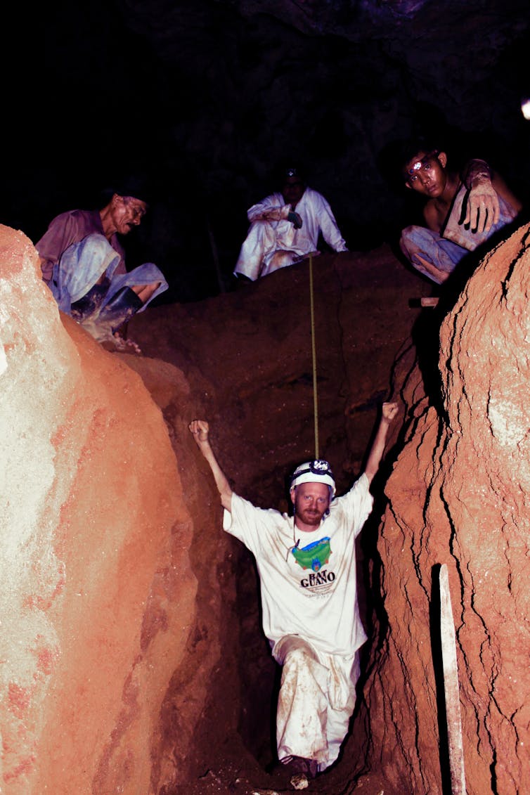 Chris, in over his head in cave poo.
Hamdi Rifai, Author provided
We need more caves
We scoured Malaysia and Indonesia for caves with deposits that can answer this question. So what does the cave poo say?
In our latest published study, we present results from a 3-metre pile of ancient excrement covering almost 40,000 years.
Saleh Cave is on the southeastern end of Borneo and at the southern equatorial end of a savanna corridor, if one existed. Today, lush tropical rainforest covers the region.
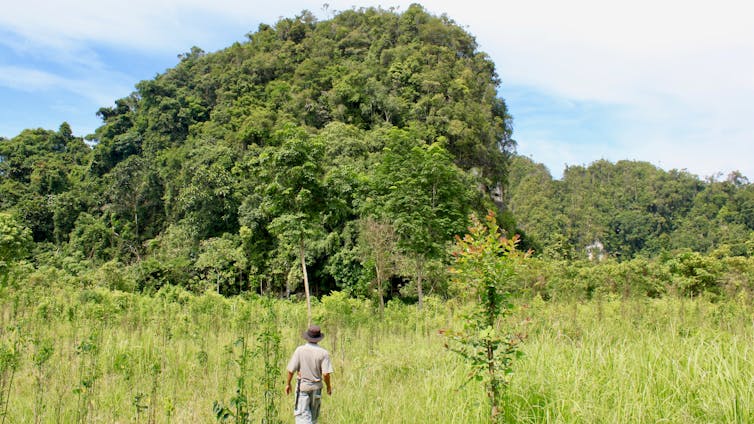 Being guided to Saleh Cave.
Chris Wurster
The chemical fingerprint in the cave poo is clear. Tropical grasses were a dominant part of the landscape during the ice age until recently – geologically speaking.
Putting this in the context of our earlier work in Malaysia, we conclude that a savanna corridor north of the equator was likely. Or, to put it another way, tropical forests did retreat to refuges on Sumatra and Borneo and did not cover Sundaland during the ice age.
Other ocean records also show that tropical grasses expanded, but these records are well to the south and east, and not in the heart of the proposed savanna corridor.
A barrier landscape
The savanna corridor acted as a barrier for rainforest specialists that wanted to move across Sundaland. On the other hand, the savanna corridor served as a bridge for species adapted to the open non-forest environments north and south of the equator.
This neatly explains many of the odd patterns of animal, insect and bird distributions we see across a region of major significance as a biodiversity hotspot.
It might also partly explain how people managed to move through the region so rapidly and on into Sahul (Australia and New Guinea) – the companion ice age continent to Sundaland – more than 50,000 years ago.
Authors: Christopher Wurster, Senior Research Associate of Stable Isotope Geochemistry, James Cook University


